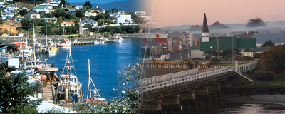
The Southern Scenic Route, covering 610 km, begins or ends
in Dunedin city and travels through Balclutha and The Catlins
area to Invercargill city before taking in Riverton, Colac Bay,
Tuatapere and the gateways to Fiordland: Manapouri and Te
Anau before ending in Queenstown.
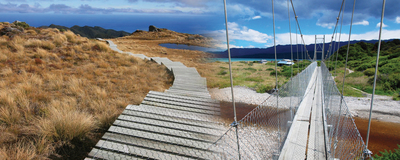
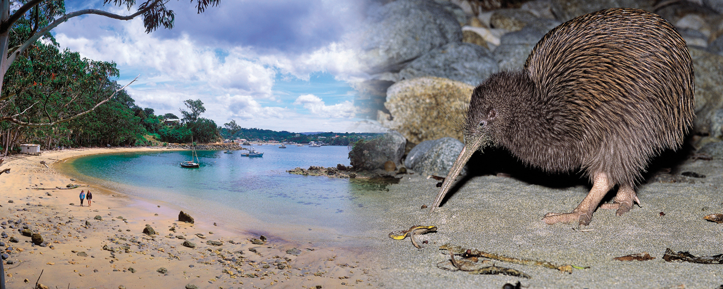
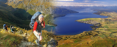
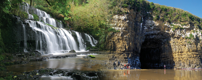
This scenic travelling route guides you through some of the
most spectacular coastal scenery and rural settings in New Zealand. The journey
features contrasting beauty of unique landscapes, from rolling green pastures and
native New Zealand forest, to the wild southern coastline and looming mountains.
| Section |
Distance |
Drving Time |
| Queenstown - Frankton |
7 km |
5 min |
| Frankton - Kingston |
40 km |
30 min |
| Kingston - Athol |
20 km |
15 min |
| Athol - Five Rivers |
23 km |
15 min |
| Five Rivers - Mossburn |
20 km |
15 min |
| Mossburn - Te Anau |
60 km |
45 min |
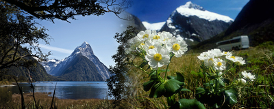
| Te Anau - Milford Sound/Piopiotahi |
120 km |
2 hr 20 min |
| Te Anau - Manapouri |
22km |
15 min |
| Manapouri - Tuatapere |
79 km |
1 hr |
| Tuatapere - Riverton/Aparima |
48 km |
50 min |
| Riverton/Aparima - Invercargill |
38 km |
40 min |
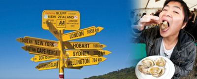
| Invercargill - Bluff |
30 km |
25 min |
| Invercargill - Fortrose |
46 km |
50 min |
| Fortrose - Tokanui |
13 km |
10 min |
| Fortrose - Waikawa (inland route) |
32 km |
40 min |
| Fortrose - Waikawa (coastal route partly unsealed) |
36 km |
45 min |
| Waikawa - Cathedral Caves |
26km |
30min |
| Cathedral Caves - Papatowai |
12km |
15min |
| Papatowai - Owaka |
26 km |
30 min |
| Owaka - Kaka Point |
21 km |
20 min |
| Kaka Point - Balclutha |
21 km |
20 min |
| Balclutha - Taieri Mouth |
50 km |
1 hr |
| Taieri Mouth - Dunedin |
35 km |
45 min |
The Southern Scenic Route is clearly signposted by the distinctive sign

See www.southernscenicroute.co.nz for further information.
|